
EAGLECREST SKI AREA
CONDITIONS
CONDITIONS
| CONDITIONS | BASE | SUMMIT |
|---|---|---|
| Temp (F) | 27 | 19 |
| Wind (Speed in mph) | 12 | 15 |
| New Snow: 12hrs (in) | 1 | 2 |
| New Snow: 24hrs (in) | 0 | 0 |
| Snowpack (in) | 44 | 86 |
| Season Snowfall as of Opening Day (in) | NA | 309 |
| * Denotes unofficial morning measurement | Date: 3.08.26 | |
Fish Creek Road is an Alaska State Highway that is maintained by CBJ, the road is plowed each morning prior to opening and will return as needed throughout the day. Eaglecrest is the highest road accessible in Juneau. Be prepared for winter driving and required use of 4WD, AWD, studded tires, or chains whenever necessary.
This is not a full send type of day. There is a lot of dust over hard layer of snow that we currently have. Be careful while adventuring off-piste. Have a beautiful day of skiing!
Daily Operations Report – Eaglecrest Ski Area
Date: 03/07/2026
This daily report is provided to keep our community informed about current operations at Eaglecrest Ski Area. It includes important updates on ongoing maintenance, lift operations and repairs, utility or infrastructure issues, and any other operational matters that may impact access, safety, or the guest experience. Our goal is to offer transparency and timely information, so guests, staff, and partners know what to expect each day on the mountain.
- Eaglecrest Grill will have a limited menu Wednesday-Friday. Full menu will be offered on Saturday and Sundays.
- When visiting Eaglecrest Ski Area, please be mindful of where you park: the upper parking lot is reserved for small vehicles only and is a one-way lot, while trucks, SUVs, vans, and other larger vehicles must use the lower lot. All vehicles should park at an angle and pull into the snowbank to maximize space and maintain proper traffic flow. Keeping lanes clear is essential so emergency vehicles, including ambulances, can access the area quickly if needed. Thank you for helping keep the mountain safe and accessible for everyone.
TERRAIN STATUS
| CHAIRLIFT | STATUS |
|---|---|
| Porcupine | Closed |
| Hooter | Closed |
| Ptarmigan | Closed |
| Hours of Operation | Wed-Sunday 9am-4pm |
| View Complete Chairlift Schedule & Hours |
|
Trail Status
Muskeg Groomed
Dolly Varden Groomed
Platter Chutes Open Not Groomed
Stickleback Groomed
Black Bear Access Groomed
Sneaky Groomed
Sourdough Groomed
Easy Bowl Groomed
Williwaw Groomed
Otter Slide Groomed
Upper Sluice Box Groomed
Grubstake Groomed
Trickster Groomed
Ego Groomed
Upper Hilary's Open Not Groomed
Middle Hilary's Open Not Groomed
Lower Hilary's Groomed
Log Jam Groomed
Log Jam Runout Groomed
Raven Open Not Groomed
Raven Runout Groomed
Barrel Roll Open Not Groomed
Inside Passage Open Not Groomed
Nugget Open Not Groomed
Cheechako Groomed
Motherlode Groomed
Drifter Open Not Groomed
Marmot Open Not Groomed
Vertigo Open Not Groomed
Sundance Open Not Groomed
Breakfast Bowl Open Not Groomed
East Bowl Chutes Open Not Groomed
West Bowl Open Not Groomed
Steep Chutes Open Not Groomed
Lower Spruce Chutes Open Not Groomed
Insane Open Not Groomed
Bear Trap Open Not Groomed
Waterfall Open Not Groomed
Most Open Not Groomed
Face Open Not Groomed
Wolverine Open Not Groomed
Hang Ten Open Not Groomed
| Trail | Status - 03/08/26 |
|---|---|
| Lower Trail (Skate) | Groomed |
| Lower Trail (Classic) | Groomed tracked |
| Upper Trails (Skate) | Groomed |
| Upper Trails (Classic) | Groomed tracked |
| TERRAIN | STATUS |
|---|---|
| People's Park | Closed |
| Terrain Park (Ego) | Closed |
| East Bowl Chutes | Closed |
| West Bowl | Closed |
| Pittman's Ridge | Closed |
| Steep Chutes | Closed |
| Beacon Park | Closed |
| Raven Rock | Closed |
| Gates close 30 minutes before last chair. Entry into closed areas or gates is against state law, and may result in a loss of skiing/riding privileges. | |
| UPHILL STATUS | |
|---|---|
| See Mountain Report. On operating days, uphill access is not permitted within the ski area boundary. There are three designated routes along the ski area boundary to access backcountry terrain, not Eaglecrest terrain. Please refer to the uphill route map and read the uphill policy. Eaglecrest reserves the right to suspend uphill access at any time for ski patrol and mountain operations. This includes operating and non-operating days and hours. Uphill skiers, snowboarders, and hikers are using the area at their own risk and assume all responsibility. Always read the Mountain Report or call the Snow Phone before visiting. |
|

FORECAST
The National Weather Service’s Juneau Office provides extended forecasts for Eaglecrest at 1,600′ and 2,400′ above sea level. For reference, the parking lot is at 1,130′ and the summit is 2,750′.
Hourly weather forecast graphs for Eaglecrest at 1,600′ and 2,400′ above sea level. You may select additional weather elements.
The forecast discussion is usually updated once in the early morning and again mid-afternoon.
Windy is a weather forecasting tool that visualizes data from multiple weather models, including:
- Global Forecast System (GFS) – This is NOAA’s primary forecasting model
- European Centre for Medium-Range Weather Forecasts (ECMWF)
- North American Mesoscale Forecast System (NAM)
- Meteoblue
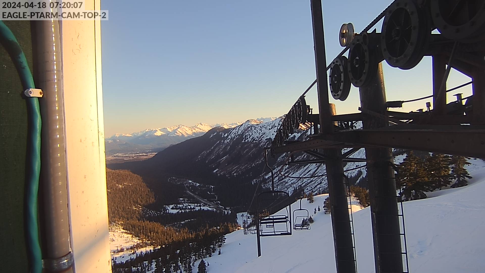
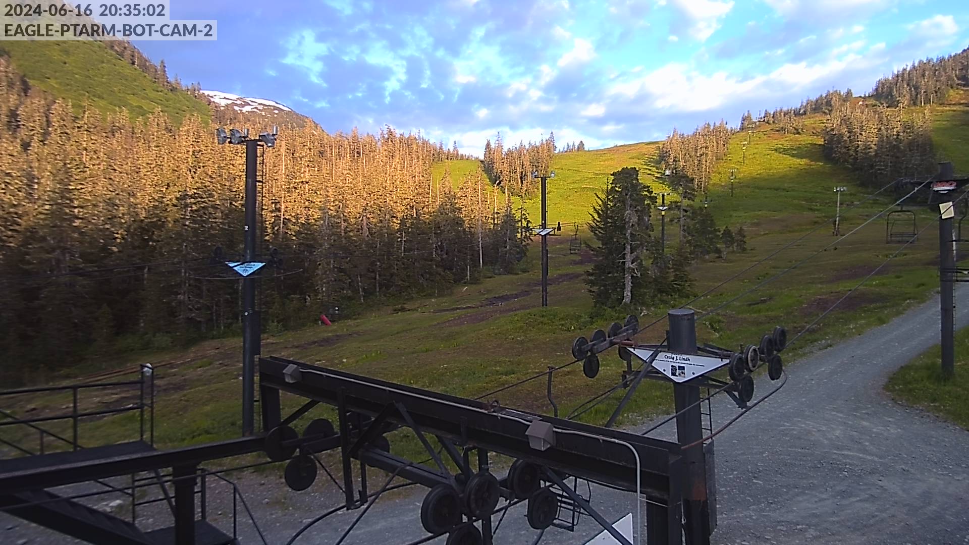
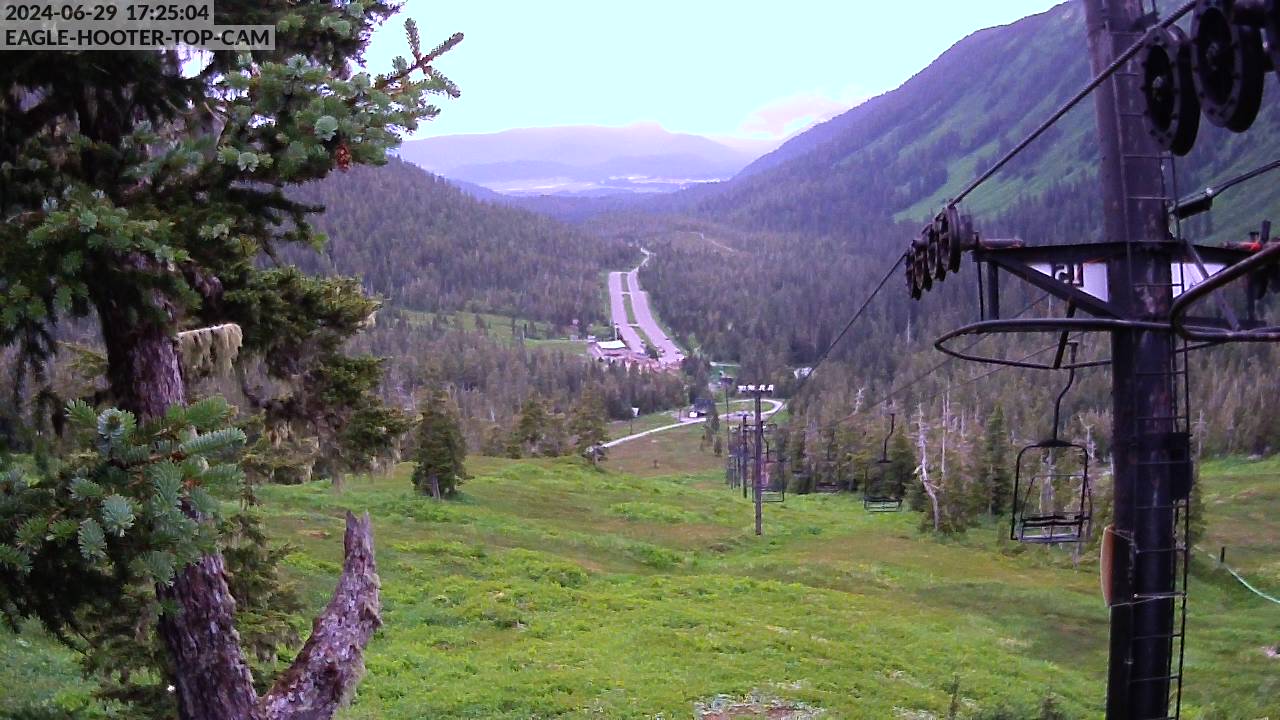
WEBCAMS
If you have issues seeing the correct images, please refresh the page, clear cache, or try opening in a private browser.

We can’t link the FAA images here. Click the button below, and then click the green dot over Eaglecrest.