EAGLECREST SKI AREA
CONDITIONS
CONDITIONS
Updated Apr 7, 2024 6:31 AM
| CONDITIONS | BASE | SUMMIT |
|---|---|---|
| Temp | 31 | 27 |
| Wind | 10-15 mph | 20-25 mph |
| New Snow: 24hr | 4" | 7" |
| New Snow: 48hr | 6" | 12" |
| Season Snowfall | 179" | 395" |
| Snowpack | 40" | 133" |
| * Denotes unofficial morning measurement | ||
| DATE | SUMMIT NEW SNOW | SUMMIT SNOWPACK | BASE NEW SNOW | BASE SNOWPACK | NOTES |
|---|---|---|---|---|---|
| 01.01.24 | 3 | 59 | 3 | 15 | |
| 01.03.24 | 3 | 59 | 0 | 15 | |
| 01.04.24 | 8.3 | 59 | 0 | 15 | |
| 01.05.24 | 4 | 63 | 1 | 16 | |
| 01.10.24 | 3 | 63 | 2.5 | 17 | |
| 01.13.24 | 9.8 | 66 | 3 | 19 | |
| 01.14.24 | 18.5 | 84 | 12 | 32 | |
| 01.15.24 | 21 | 100 | 10 | 39 | |
| 01.17.24 | 21.7 | 136 | 18 | 39 | |
| 01.22.24 | 10.6 | 139 | 9.3 | 39 | |
| 01.24.24 | 17 | 156 | 9.1 | 49 |
Fish Creek Road is a State Highway. Alaska DOT plows the road each morning prior to opening and will return as needed throughout the day. Eaglecrest is the highest road accessible point in Juneau. Be prepared for winter driving and use 4WD, AWD, studded tires, or chains whenever necessary.
Rise and Shine it’s Slush Cup Sunday! We have a 24 hour measurement of 7” up top and 4” at the base. Holy smokes, what an El Nino season it’s been, and nothing like a powder day to close it all out. Expect some light, blower snow up top and slightly more creamy surfy turns towards the base. It’s currently 31 degrees at the base and 27 up top with 20-25 mph winds. It’s not supposed to warm up much more today so be sure to plan your closing day, Slush Cup Beach ‘fit over whatever warmer layers you desire. We look forward to seeing your shining faces out on the best hill in all of Juneau today. Posted below is today’s timeline:
REGISTRATION CLOSES: 10 AM
SLUSH CUP START: 11AM
There’s still a few open slots if you want a chance at winning a season pass or goodies from NAO. Or just for bragging rights and to prove you’re more hardcore than most. Participants can start making their way to the middle of Hilary around 11 to kick things off.
SHARE THE LOT: Let's all try to park smart today. Pull all the way forward into your parking spot. The upper lot is for compact vehicles only and diagonal parking with one-way traffic. The lower lot is two-way and can be parked straight in. All vehicles are welcome in the lower lot! No parking is allowed on the uphill side of Fish Creek Road.
There are open holes, hazards, and running water in the gullies. Please adhere to all rope lines and signage. Ski in control and keep track of your buddies.
Groomed trails today: Muskeg, Dolly Varden, Stickleback, Platter Chutes, Black Bear Access, Sneaky, Sourdough, Easy Bowl, Williwaw, Otter Slide, Grubstake, Sluice Box, Ego, Lower Hilary’s, Log Jam, Raven Runout, Cheechako, Motherlode, and Spruce Chute. Ptarmigan, Hooter, and Porcupine chairlifts are scheduled to operate from 9 AM - 4 PM. Blackbear will be closed due to lack of staff.
This season would not have been possible without each and every single one of our staff members. They have been working tirelessly operating days, nights, and weekends to make sure Eaglecrest is the best it can be for you all. They all deserve the world and then some but a simple “thank you” could make their day. As for me, it’s been a privilege to attempt to predict this seasons conditions with you every morning all winter long! There’s no place like Eaglecrest, and like you, I am just happy to be here. After all, it’s not ‘goodbye’, just ‘ski you later’!
NORDIC (April 7th) Good Morning Nordic Fans! Happy Closing Day Sunday !
The upper loop had been groomed for classic and skate skiing today and the snow conditions should be excellent! There could be a bit of stormy riding, so be sure to pack a couple of warm layers and maybe some clear shades.
The access trail to the upper loop is just below the base of Blackbear Chair. Trickster access is closed for the remainder of the season, so consider bringing a leash and riding up Hooter lift or taking Sneaky up.
Thank you JNSC community for your daily conditions updates!
Updated Apr 7, 2024 6:31 AM
| Trail | Status |
|---|---|
| Lower Trails | Not Groomed |
| Upper Trails | Groomed |
TERRAIN STATUS
Updated Apr 7, 2024 4:20 PM
| CHAIRLIFT | STATUS |
|---|---|
| Ptarmigan | Closed |
| Porcupine | Closed |
| Blackbear | Closed |
| Hooter | Closed |
| View Complete Chairlift Schedule & Hours We Need Help! Apply Now! |
|
Updated Apr 7, 2024 4:20 PM
| TERRAIN | STATUS |
|---|---|
| East Bowl Chutes | Closed |
| West Bowl | Closed |
| Pittman's Ridge | Closed |
| Steep Chutes | Closed |
| Beacon Park | Open |
| Terrain Park (Ego) | Closed |
| Gates close 30 minutes before last chair. Entry into closed areas or gates is against state law, and may result in a loss of skiing/riding privileges. | |
Updated Apr 6, 2024 6:31 AM
Trail Status
Muskeg Groomed
Dolly Varden Groomed
Platter Chutes Groomed
Stickleback Groomed
Black Bear Access Groomed
Sneaky Groomed
Sourdough Groomed
Easy Bowl Groomed
Williwaw Groomed
Otter Slide Groomed
Upper Sluice Box Groomed
Grubstake Groomed
Trickster Closed
Updated Apr 7, 2024 6:32 AM
| Trail | Status |
|---|---|
| Ego | Groomed |
| Lower Hilary's | Groomed |
| Middle Hilary's | Not Groomed |
| Upper Hilary's | Not Groomed |
| Log Jam | Groomed |
| Log Jam Runout | Groomed |
| Raven | Not Groomed |
| Raven Runout | Groomed |
| Barrel Roll | Not Groomed |
| Inside Passage | Not Groomed |
| Nugget | Not Groomed |
| Cheechako | Groomed |
| Motherlode | Groomed |
| Drifter | Not Groomed |
| Marmot | Not Groomed |
| Vertigo | Not Groomed |
| Sundance | Not Groomed |
| Breakfast Bowl | Not Groomed |
Updated Apr 7, 2024 6:32 AM
| Trail | Status |
|---|---|
| East Bowl Chutes | Check Gate Status Above |
| West Bowl | Check Gate Status Above |
| Steep Chutes | Check Gate Status Above |
| Spruce Chute (lower) | Groomed |
| Insane | Not Groomed |
| Bear Trap | Not Groomed |
| Waterfall | Not Groomed |
| Most | Not Groomed |
| Face | Not Groomed |
| Wolverine | Not Groomed |
| Hang Ten | Not Groomed |
Updated Apr 7, 2024 4:20 PM
| UPHILL STATUS | |
|---|---|
| See Mountain Report. On operating days, uphill access is not permitted within the ski area boundary. There are three designated routes along the ski area boundary to access backcountry terrain, not Eaglecrest terrain. Please refer to the uphill route map and read the uphill policy. Eaglecrest reserves the right to suspend uphill access at any time for ski patrol and mountain operations. This includes operating and non-operating days and hours. Uphill skiers, snowboarders, and hikers are using the area at their own risk and assume all responsibility. Always read the Mountain Report or call the Snow Phone before visiting. |
|
FORECAST
The National Weather Service’s Juneau Office provides extended forecasts for Eaglecrest at 1,600′ and 2,400′ above sea level. For reference, the parking lot is at 1,130′ and the summit is 2,750′.
Hourly weather forecast graphs for Eaglecrest at 1,600′ and 2,400′ above sea level. You may select additional weather elements.
The forecast discussion is usually updated once in the early morning and again mid-afternoon.
Windy is a weather forecasting tool that visualizes data from multiple weather models, including:
- Global Forecast System (GFS) – This is NOAA’s primary forecasting model
- European Centre for Medium-Range Weather Forecasts (ECMWF)
- North American Mesoscale Forecast System (NAM)
- Meteoblue
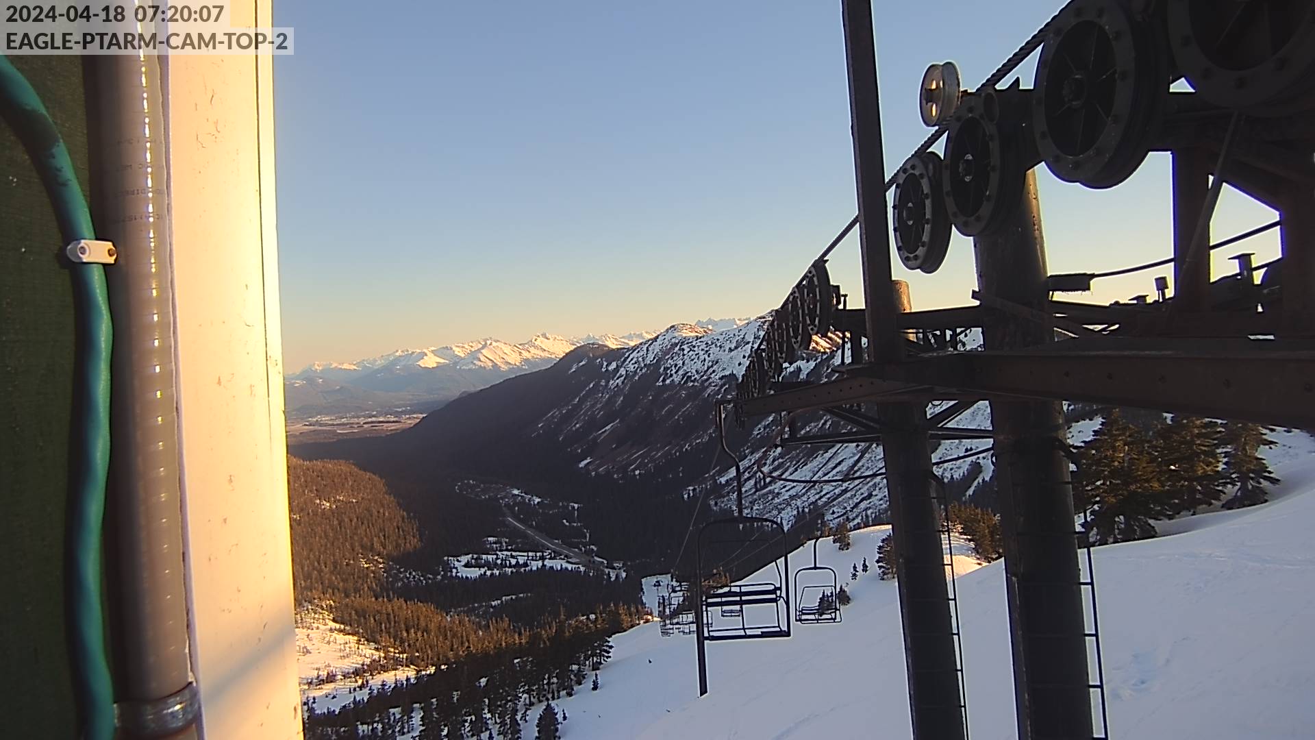
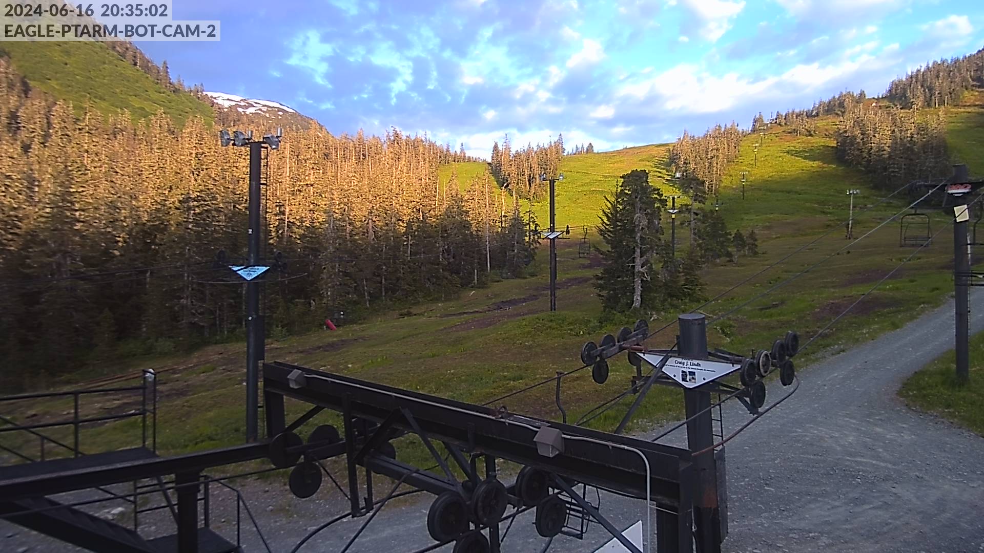
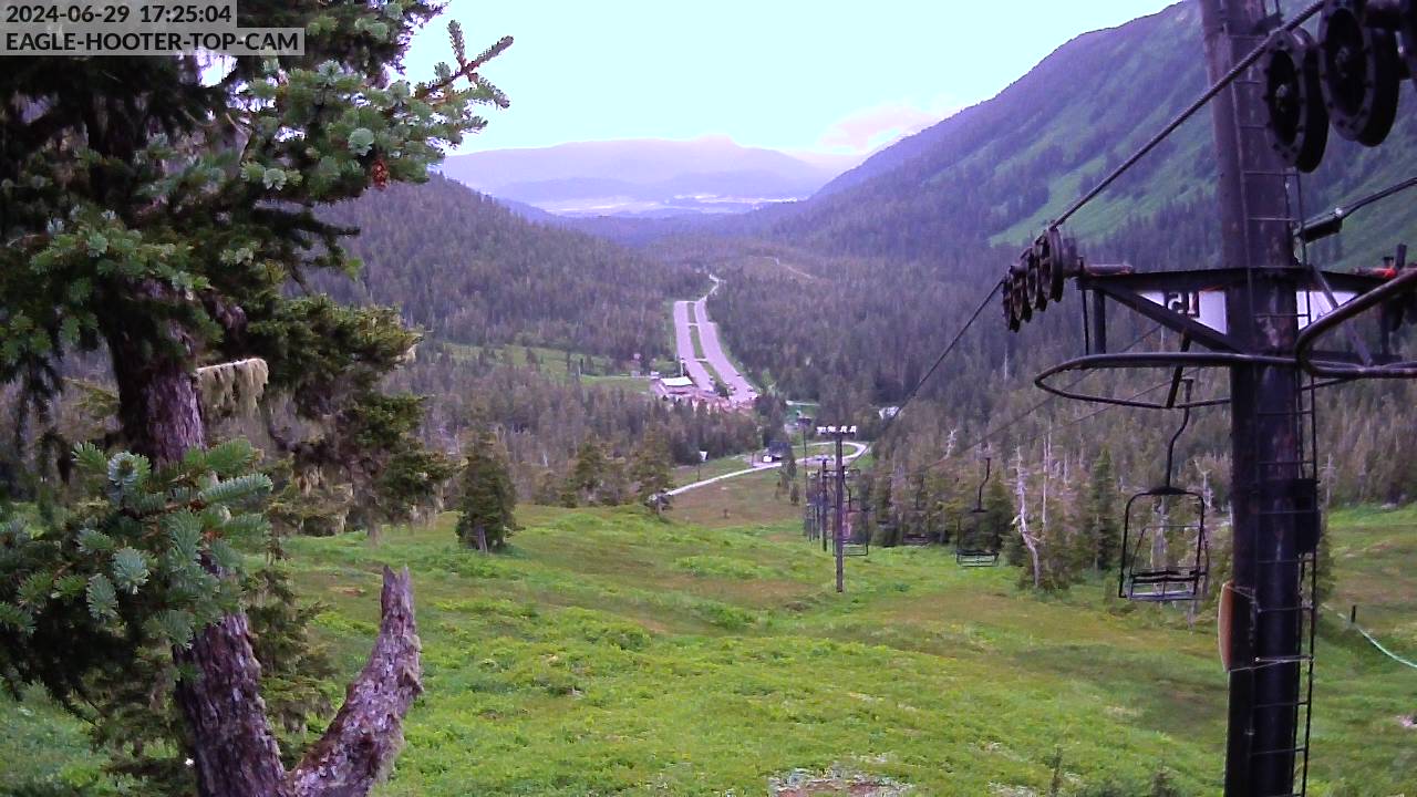
WEBCAMS
If you have issues seeing the correct images, please refresh the page, clear cache, or try opening in a private browser.
We can’t link the FAA images here. Click the button below, and then click the green dot over Eaglecrest.

